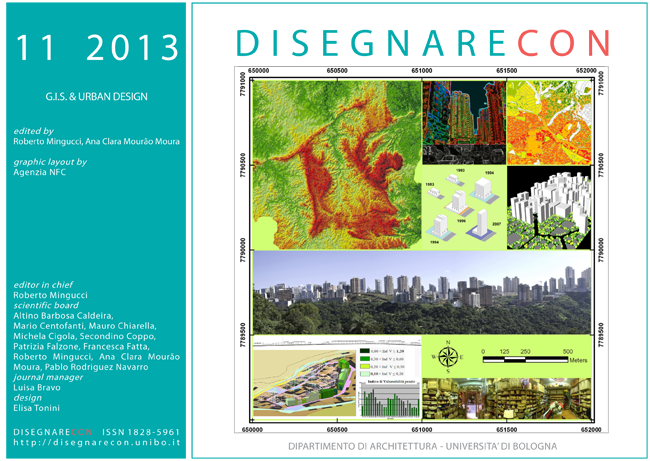
Rehabilitation of urban areas of precarious settlements (favelas) using GIS
DOI:
https://doi.org/10.6092/issn.1828-5961/3377Keywords:
Urban Planning, GIS, reintegrationAbstract
To maximize their reach and effectiveness, adoption of public policies for urban planning must be supported by techniques that allow the seizure and analysis of data relating to the territory where they apply these policies. The article exposes the Vila Viva program, established by the City Administration of Belo Horizonte, Brazil, proposing to integrate into the urban tissue consolidated informal settlements (a.k.a. slums) and that had their environmental studies supported intensively by GIS techniques. By combining information from different sources, these techniques enabled not oly the diagnosis of the slums, but also of the formal urban environments where they are located and which the policy seeks to integrate them into. The priorities for action were set up by combining technical criteria calibrated by the vision of a government policy that for eight years have been object of projects and works by the municipality. The paper compares the scenarios obtained in the original environmental study and the current reality, evaluating the results achieved in the proposed integration of slums and their effects on environmental quality.
References
Fernandes, E., Pereira, H.D. (2010) Legalização das Favelas: Qual é o Problema de Belo Horizonte? In Planejamento e Políticas Públicas, No 34: Planejamento e Políticas Públicas – PPP p. 171-199. IPEA. Disponível em http://www.ipea.gov.br/ppp/index.php/PPP/index, último acesso em 30/07/2011.
Glass, R. (1964). London: Aspects of change. London: Centre for urban studies and MacGibbon and Kee.
Lopes, J.M.A., Pulhez, M.M. (2008) De molde a contramolde: (re) construindo questões sobre a urbanização de favelas. In Cadernos IPPUR. Ago/Dez, p. 67-88, IPPUR
Monte-Mór, R. L. (2005). A questão urbana e o planejamento urbano-regional no Brasil contemporâneo. In C. C. Diniz & M. B. Lemos (Eds.), Economia e Território (pp. 429-446). Belo Horizonte: Editora UFMG
Motta, L.D. (2012) Da construção da nova capital mineira ao atual modelo de gestão de vilas e favelas: notas sobre um estudo de caso do Programa Vila Viva. In Cadernos de História, v.13, nº 19, Belo Horizonte
SUDECAP Belo Horizonte (2006). Relatório de Controle Ambiental e Plano de Controle Ambiental. Aglomerado Pedreira Prado Lopes. Pereira, M.F., Freire, G.J.M.(Coords.) Belo Horizonte: Aluvial Engenharia e Meio Ambiente
SUDECAP Belo Horizonte (2007). Relatório de Controle Ambiental e Plano de Controle Ambiental. Aglomerado Morro das Pedras / Vila Pantanal. Pereira, M.F., Freire, G.J.M.(Ed.) Belo Horizonte: Aluvial Engenharia e Meio Ambiente
Tonucci Filho, J.B.M., Ávila, J.L.T. (2010) Urbanização da Pobreza e Regularização de Favelas em Belo Horizonte. Belo Horizonte: CEDEPLAR, 2010, Disponível em www.cedeplar.ufmg.br/seminarios/seminario_diamantina/.../D08A117.pdf último acesso em 30/07/2011
URBEL Belo Horizonte. (2008) Estudo de Impacto Ambiental – Programa Vila Viva– Intervenções Estruturantes em Assentamentos Precários. M.F., Freire, G.J.M.(Ed.) Belo Horizonte: Aluvial Engenharia e Meio Ambiente
Downloads
Published
How to Cite
Issue
Section
License
Copyright (c) 2013 Gerson José de Mattos Freire


