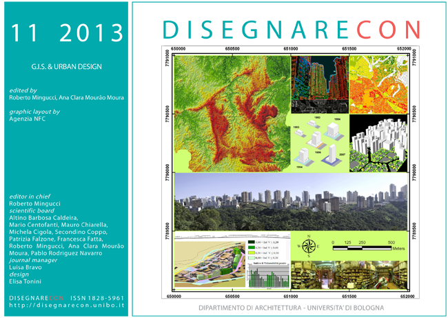
Design and management of territorial occupation with the support of Remote Sensing and Geographic Information Systems – Low costs and great benefits in Brazil
DOI:
https://doi.org/10.6092/issn.1828-5961/3387Keywords:
GIS, Geoprocessing and urban planning, Free Software, institutional project to technician training in Brazil.Abstract
Presents applications of methodologies of spatial analysis supported for geoprocessing, currently available to Brazilians municipalities with the availability of data in the public domain and free software. It is adopted as a case study the municipality of Ribeirao das Neves, in state of Minas Gerais, Brazil. It has structured a Geographic Information System for the municipality, as part of the Qualification Program of the Ministry of cities, in collaboration with the Federal University of Minas Gerais (UFMG), Laboratory of Geoprocessing in the School of Architecture. The spatial analysis allow the characterization of the landscape, the identification of areas of interest for environmental preservation, the areas of interest for the expansion and urban density and location of possible conflicts of interest in occupation of the territory. The methodology is applicable to other municipalities and aims to recognition the decision-making process in the design and management of municipal landscape, to ensure its sustainable development.
References
Brasil em Cidades: site Accesso 25/11/2012
BRASIL. Constituição da República Federativa do Brasil. 5 out. 1998.
BRASIL. Decreto 6.666. 27 de nov. de 2008. Institui na esfera do Poder Executivo federal a Infraestrutura Nacional de Dados Espaciais – INDE.
BRASIL. Portaria Ministerial no. 511. Ministério das Cidades. 07 de dez. de 2009. Institui Diretrizes para a Criação, Instituição e Atualização do Cadastro Territorial Multifinalitário (CTM) nos Municípios Brasileiros.
Felix, I. M.; Kazmierczak, M. L.; Espindola, G. M. (2009). RapidEye: a nova geração de satélites de Observação da Terra. In: Anais do XIV Simpósio Brasileiro de Sensoriamento Remoto (SBSR), 14, 2009, Natal. Anais... INPE, 2009.
IBGE: site Accesso 25/11/2012
INPE: site Accesso 25/11/2012
LAGEOP: site Accesso 25/11/2012
Ministério das Cidades: site Accesso 25/11/2012
Moura, A. C. M. (2007) Reflexões metodológicas como subsídio para estudos ambientais baseados em Análise de Multicritérios. Anais XIII Simpósio Brasileiro de Sensoriamento Remoto, Florianópolis, Brasil, 21-26 abril 2007, INPE, p. 2899-2906.
MOURA, Ana Clara M.; FREIRE, Gerson. J. M. (2012). O papel do Cadastro Territorial Multifinalitário nas políticas públicas de planejamento e gestão urbana como apoio a instrumentos do Estatuto da Cidade. Rio de Janeiro, Revista Brasileira de Cartografia, 2012 (no prelo).
Secretaria de Estado Extraordinário de Gestão Metropolitana: site Accesso 25/11/2012
Xavier-da-Silva, J. (2001). Geoprocessamento para análise ambiental. Rio de Janeiro: J. Xavier da Silva, 227p.
Downloads
Published
How to Cite
Issue
Section
License
Copyright (c) 2013 Thaísa Daniele Apóstolo Nogueira, Laboratorio di Geoprocessing


