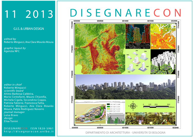
“Informative representation” for the vulnerability analysis of anthropic landscape. two different areas in comparison: the historical center of St. Elia Fiume Rapido (FR) and the mining site of Coreno Ausonio.
DOI:
https://doi.org/10.6092/issn.1828-5961/3384Keywords:
Landscape, historical town, mining sites, GIS, Informative RepresentationAbstract
The main riscks of the landscape are the overexploitation of the soil and a high physical vulnerability of our country determined by considerable seismic and volcanic activities, and by the peculiar geomorphological and hydrogeological pattern. This risk needs to be mitigated through a careful analysis of the criticity levels in the different geographical areas and by developing strategies based on requirements and operational guidance. In this paper two different procedures for vulnerability analysis are described, designed for completely different landscape areas. The first case concerns the historical center of Sant’Elia Fiumerapido, in the province of Frosinone, with the objective of analysing the town and its exposure to natural factors of degradation. The second case is the basin of Coreno Ausonio, in the province of Latina, deeply marked by intense mining activities. These two cases constitute examples where the "Informative Representation" allows an immediate reading of the involved components with the aim, in the first case to preserve the evidence of the past, in the second case to protect the environment from uncontrolled human activities.
References
Pelliccio A., (2011), I sistemi informativi per il “recupero sostenibile” dei siti estrattivi. L’esempio del bacino di
Coreno Ausonio, in Il Disegno delle trasformazioni, Atti del Convegno , Napoli.
Pelliccio A.,(2010) Sistemi Informativi per la Gestione e valorizzazione del Patrimonio Urbano.Dal SIT al SIA, in Brusaporci S., a cura di, Sistemi integrati per la tutela e lavalorizzazione del patrimonio architettonico e urbano, Roma, Gangemi Editore.
Vallerotonda M., (2008/2009) I siti estrattivi nel basso Lazio. “Il “recupero sostenibile”. Tesi di Laurea Cassino.
Serravalli A., (2007). Gis. Teorie e applicazioni, Milano. ISBN 8875861625
Maurelli P., (2006) I Sistemi Informativi Territoriali (SIT) come contesti di rappresentazione e interazione, in Martone M., a cura di, La rappresentazione per la conoscenza dell’ambiente urbano e del territori, Atti del Seminario, Edizioni Kappa
Verrecchia A., (2005/2006) Procedura di rilievo ed elaborazione dati inerenti il rischio sismico: il centro storico di S. Elia Fiumerapido. Tesi di Laurea Cassino.
Aspinall, R. J., (1999), GIS and landscape conservation. In Longley, P.A., Goodchild, M.F.
Barrocchi R., (1984) Dizionario di urbanistica, Franco Angeli, Milano, II ed.
Maguire, D., and Rhind, D.W., (1999) Geographical Information Systems, 2 Volume, New York:John Wiley & Sons.
Downloads
Published
How to Cite
Issue
Section
License
Copyright (c) 2013 Assunta Pelliccio


