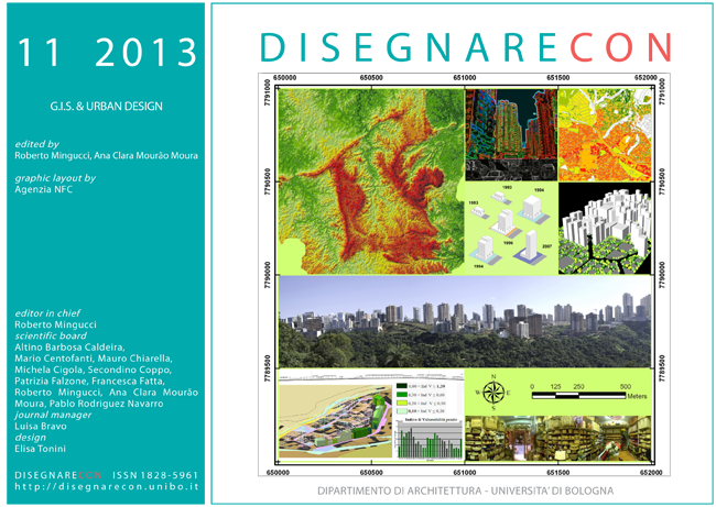
Urban design and modeling: applications and perspectives on GIS
DOI:
https://doi.org/10.6092/issn.1828-5961/3659Keywords:
integrated modeling, GIS, Urban designAbstract
In recent years, GIS systems have evolved because of technological advancements that make possible the simultaneous management of multiple amount of information.Interesting aspects in their application concern the site documentation at the territorial scale taking advantage of CAD/BIM systems, usually working at the building scale instead.
In this sense, the survey using sophisticated equipment such as laser scanners or UAV drones quickly captures data that can be enjoyed across even through new “mobile” technologies, operating in the web-based information systems context. This paper aims to investigate use and perspectives pertaining to geographic information technologies, analysis and design tools meant for modeling at different scales, referring to results of research experiences conducted at the University of Bologna.
References
Parish Y., Muller P. (2001). Procedural Modeling of the Cities. In ACM Siggraph, New York , pp. 301-308.
Disposizione Dirigenziale Comune di Cervia (2004, 9 settembre) del Dirigente del settore pianificazione territoriale.
Skaloud, J., Lichti, D., (2006). Rigorous approach to bore-sight self-calibration in airborne laser scanning. In ISPRS Journal of Photogrammetry & Remote sensing, 61 (2006), pagg. 47-59.
Dangermond, J., (2009). GIS: Designing Our Future. In ArcNews On-Line, Summer 2009 issue.
Pagani, R., (2010). Il concetto di smart cities per il futuro della città. In: R. PAGANI and L. MATTEOLI, eds., Cityfutures: Architettura Design Tecnologia per il futuro delle città. Hoepli, Milano pp. 11-17.
Forum PA, (2011). Smart city: progetti e tecnologie per città più intelligenti. Roma.
Garagnani, S., Mingucci R., (2011). A.I.M. - Informative Archives for architectural renovation. In SIGraDi Cultura aumentada 2011, XV Congreso de la Sociedad Iberoamericana de Gráfica Digital, a cura di M. Chiarella e M.E. Tosello, pagg. 93-96.
Lemmens, M., (2011). Terrestrial laser scanning in Geotechnologies and the Environment Volume 5, pagg. 101-121, Springer Netherlands. ISBN 978-94-007-1666-7.
Bravo L., Mingucci R., Muzzarelli A. (2012), La documentazione del paesaggio tra territorio e ambiente in Il mazzo delle carte. L’informatizzazione dell’archivio cartografico e aerofotografico dell’IBC, a cura di Ilaria Di Cocco e Stefano Pezzoli, Istituto per i Beni Artistici, Culturali e Naturali della Regione Emilia-Romagna, Editrice Compositori, Bologna, pp. 207-214.
Kuschk, G., (2013). Large scale urban reconstruction from remote sensing imagery. In International Archives of the Photogrammetry, Remote Sensing and Spatial Information Sciences, Volume XL-5/W1, 2013.
Downloads
Published
How to Cite
Issue
Section
License
Copyright (c) 2013 Roberto Mingucci, Aurelio Muzzarelli, Luisa Bravo, Simone Garagnani


